SES Water
As-Built Drawings
What Do We Do?
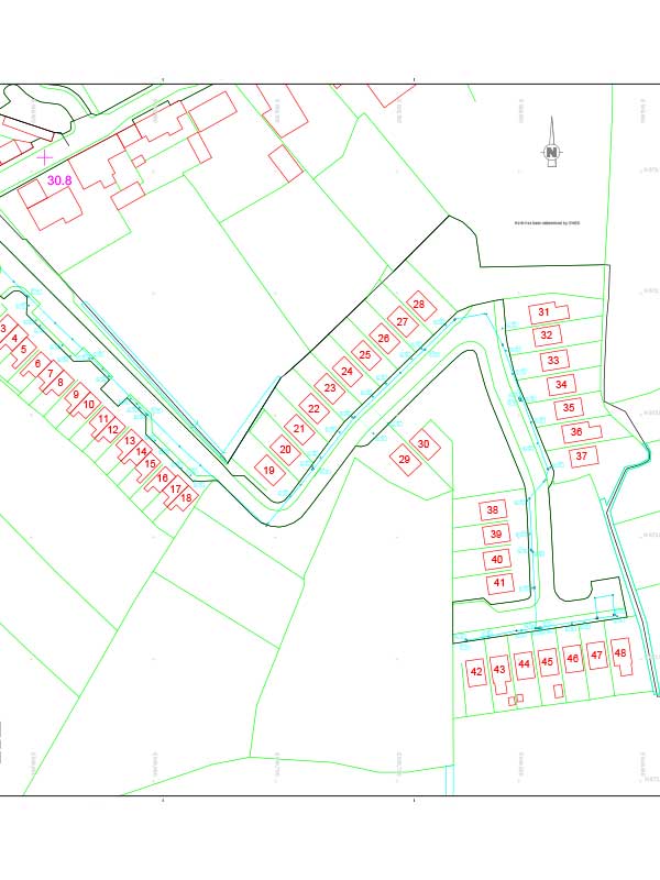
Also known as record drawings and as-constructed drawings, as built drawings provide a detailed record of the final layout of a construction project. They reflect all changes made during the construction process and show the dimensions, geometry and location of all elements and features associated with a utility service.
SES work closely with a number of sub-contractors to provide As-Built record drawings of water network infrastructure relating to housing developments and estates.

When Are They Needed?
- New Developments: When applying to Uisce Éireann Irish Water for a Conformance (Completion) Certificate relating to newly constructed water or wastewater networks, As-Built record drawings are required as part of the submission of the final document package by the Contractor.
- Existing Developments: As-Built record drawings are required by Uisce Éireann Irish Water where a third party (Contractor / Developer / Local Authority) is submitting details for taking in charge of non Uisce Éireann Irish Water developed assets.
- Group Water Schemes: As-Built record drawings are required by Uisce Éireann Irish Water as part of their taking in charge of assets constructed by third parties such as Group Water Schemes who are looking to transfer the assets to Uisce Éireann Irish Water ownership.
- Housing Estates: As-Built record drawings are required by Uisce Éireann Irish Water as part of their taking in charge of assets constructed by third parties such as Local Authorities who are looking to transfer the assets to Uisce Éireann Irish Water ownership.
- House Keeping: As-Built drawings are often required as part of your asset management works where you need to understand the operation and layout of your water/wastewater utility. This is usually a first step when utility upgrades are being designed.
As-Built Drawings Scope of Works
The As-Built survey work collects information relating to the infrastructure which includes:
- Tracing and surveying the route of the watermain network to locate, record, map and label the exact location, type, size and depth of existing watermain.
- Pipe routes including fire mains with levels.
- Valve and meter pits and chambers.
- Diameters and material specifications.
- Connections to building.
- Internal dimensions of valve and meter pits.
We use a number of traditional and new technologies to survey the required infrastructure including Cat & Genny, Ground penetrating radar (GPR), metal detectors and Acoustic tracing.
This information is then sorted and compiled to generate a clear and annotated AutoCAD drawing showing the route of the service along with its associated features (chambers, valves etc.)

Find out more about what SES Water can do for you
